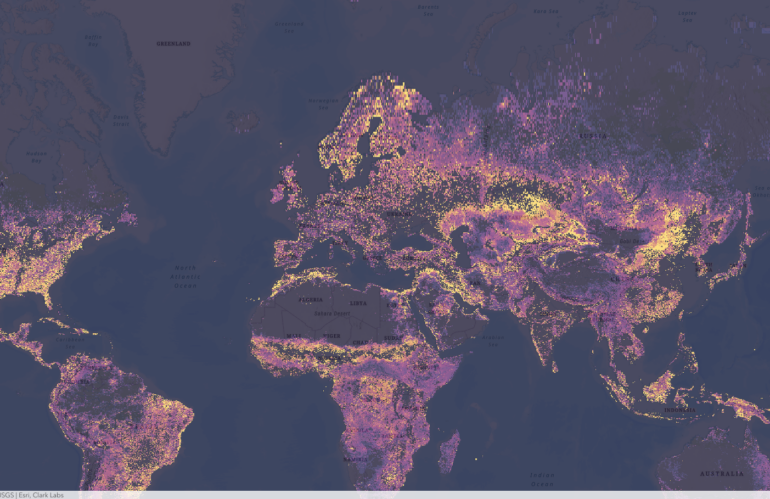
Clark Labs, a research and development company based in Worcester, Massachusetts, is at the forefront of using geospatial intelligence to predict vulnerability change. Through their cutting-edge research, they are harnessing the power of Earth observation data, specifically the maps provided by the European Space Agency (ESA), to create predictive models that can forecast changes in a given area’s vulnerability to various environmental stresses.
Designing a web service offering land cover classification using latitude and longitude poses several challenges. These include the need for accurate and up-to-date data, ensuring compatibility with various data formats and systems, and the need for efficient geospatial processing and delivery of data. Usually, geospatial experts use highly optimized imagery software offering image services capabilities for identifying raster values using latitude and longitude locations.