Zum Inhalt springen (Enter drücken)
  • Home
  • Geospatial Portfolio
  • Impressum
  • Datenschutzerklärung

Geospatial AI

  • Home
  • Geospatial Portfolio
  • Impressum
  • Datenschutzerklärung
Startseite>GEOINT>Design considerations for a GEOINT App
aktualisiert am Februar 7, 2021Februar 6, 2021/ lektor

Design considerations for a GEOINT App

GEOINT

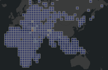
Getting to know various technology stacks for app development and why you should consider Qt for geospatial intelligence apps.

Read more @Medium

Beitragsnavigation

Vorheriger BeitragGEOINT: “The new frontier of feature engineering.”
Nächster BeitragGEOINT App: Proof of Concept

Vielleicht interessiert dich auch…

Mapping the broadcasted news related to natural disasters

Detecting the flooding of Kherson using broadcasted news related to natural disasters

Earth day 2023 visualize the predicted vulnerabilities

The legacy of knowledge graphs

Beliebte Beiträge

GEOINT: “The new frontier of feature engineering.”

GEOINT App: Proof of Concept

GEOINT App: Using web maps as the spatial ground truth

Getting insights from political violence and protests around the world

Neueste Beiträge

  • Design carbon-effective spatial data science
  • Track and reduce your carbon footprint
  • Detecting the flooding of Kherson using broadcasted news related to natural disasters
  • Mapping the broadcasted news related to natural disasters
  • Earth day 2023 visualize the predicted vulnerabilities

Archive

  • September 2023
  • August 2023
  • Juli 2023
  • Mai 2023
  • April 2023
  • März 2023
  • Februar 2023
  • Dezember 2022
  • Mai 2022
  • Januar 2022
  • August 2021
  • Februar 2021

Kategorien

  • GEOINT
  • Smart Cities
Copyright ©2023 Geospatial AI. Software Company | Entwickelt von Rara Theme. Bereitgestellt von WordPress.Datenschutzerklärung