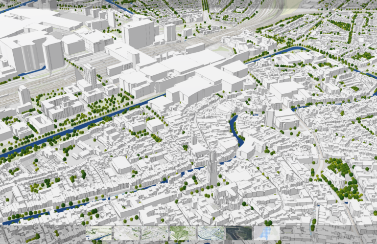
In the era of rapid urbanization, understanding and managing urban mobility has become a pressing concern. At the heart of this challenge lies the need for robust, scalable, and precise tools that can simulate and analyze urban traffic patterns. Enter the Geospatial Urban API, a ground-breaking technology that is set to revolutionize our approach to …
Kategorie: Smart Cities
Design carbon-effective spatial data science
Carbon-effective means reducing the carbon footprint for an activity or process. Carbon emissions cause global warming and harm to the environment, so we need to focus on reducing them to fight climate change. As geospatial engineers, we have a unique opportunity to make a positive impact on the environment through our work. The design, development, …
Smart Cities and Urban Planning
Smart cities are transforming the way we live, work, and interact with our environment. These cities use technology and data to improve the quality of life for citizens while also making the city more efficient and sustainable. In this blog post, we will discuss the benefits of smart cities and the role of urban planning …
3D visualization for Digital Twins
Digital twins are virtual replicas of physical objects, processes, or systems that are used to monitor, analyze, and optimize their real-world counterparts. These digital twins are becoming increasingly important in fields such as manufacturing, engineering, and urban planning, as they allow us to simulate and test different scenarios before implementing changes in the real world. …


