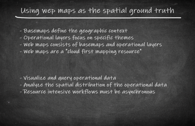
Typically, a geospatial analyst starts visualizing operational data having location information on a map. A basemap defines the geographic context and allows us thematic layering of our data. We try to gain new knowledge based on the spatial distribution of the data. A geospatial analyst almost always doesn’t have the time and skills to create high-quality basemaps from raw geographic features. Our task is to analyze the space and time-related information. This is our core competence that we should rely on.
The easiest way to access ready to go basemaps is to use cloud-based map services. As an experienced user of the ArcGIS ecosystem, you appreciate the wealth of information that are available through ArcGIS Online. Quality assured web maps, apps and data can be easily found and used via the Living Atlas of the World. As many other cloud-based resources a web map can be accessed by using an unique url.
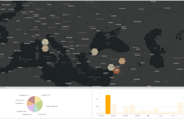
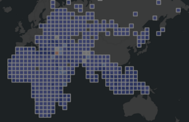
For our proof of concept we will use a web map, which contains open data from the Armed Conflict Location & Event Data Project (ACLED). This project collects publicly available political violence and protest events and offers a dataset designed for disaggregated conflict analysis and crisis mapping. The web map can be accessed by using this item.
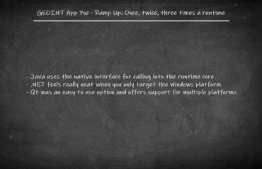
Telling the needs of a geospatial analyst when supporting different geospatial intelligence workflows.