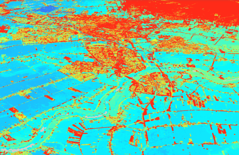
Photogrammetry and remote sensing are two important fields that deal with the acquisition and interpretation of data about the Earth’s surface using various remote sensing technologies. These technologies include satellites, aerial imagery, and LiDAR, among others. The use of these technologies has skyrocketed in recent years, and they have become essential tools for spatial data science.
Photogrammetry and remote sensing are critical components of spatial data science. The expertise in these fields is essential for professionals to analyze and interpret data accurately and efficiently, develop new algorithms and models, and solve complex spatial problems. As the use of remote sensing technologies continues to grow, the importance of expertise in these fields will only continue to increase.
