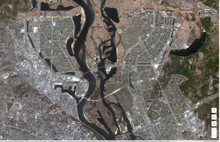
Satellite imagery analysis and visualization have become an important tool in a wide range of fields, including environmental science, urban planning, agriculture, and defense. As a developer, understanding the comprehensive story of satellite imagery analysis and visualization can help you create powerful tools and applications that harness the power of satellite imagery.
Once you have a basic understanding of the different types of satellite data, the next step is to learn about the tools and techniques used to analyze and visualize this data. This includes image processing algorithms that can be used to enhance and analyze satellite imagery, as well as machine learning algorithms that can be used to identify patterns and trends in the data.
The comprehensive developer story around satellite imagery analysis and visualization involves understanding the different types of satellite data, learning about the tools and techniques used to analyze and visualize this data, and being aware of the ethical considerations involved in working with this data. By mastering these skills, developers can create powerful applications and tools that leverage the power of satellite imagery to address real-world problems and drive innovation in a wide range of fields.
