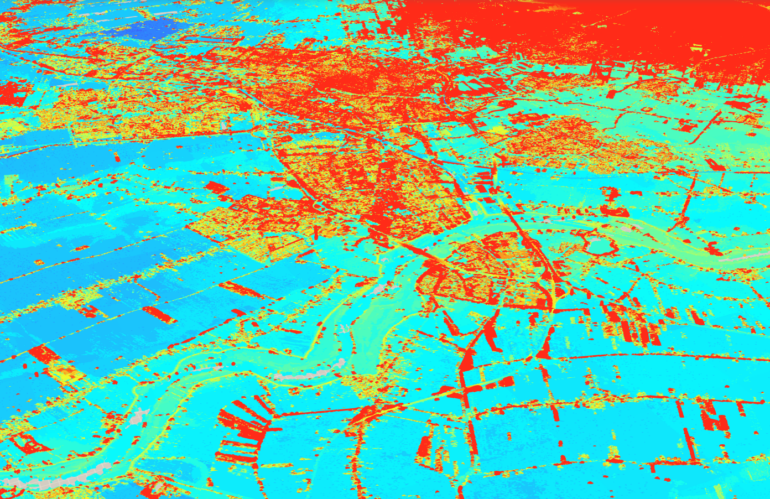
Photogrammetry and remote sensing are two important fields that deal with the acquisition and interpretation of data about the Earth’s surface using various remote sensing technologies. These technologies include satellites, aerial imagery, and LiDAR, among others. The use of these technologies has skyrocketed in recent years, and they have become essential tools for spatial data …
Jahr: 2023
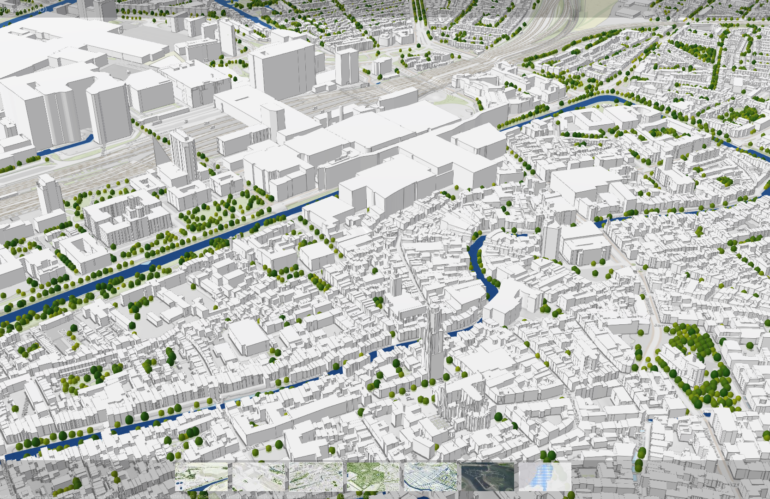
3D visualization for Digital Twins
Digital twins are virtual replicas of physical objects, processes, or systems that are used to monitor, analyze, and optimize their real-world counterparts. These digital twins are becoming increasingly important in fields such as manufacturing, engineering, and urban planning, as they allow us to simulate and test different scenarios before implementing changes in the real world. …
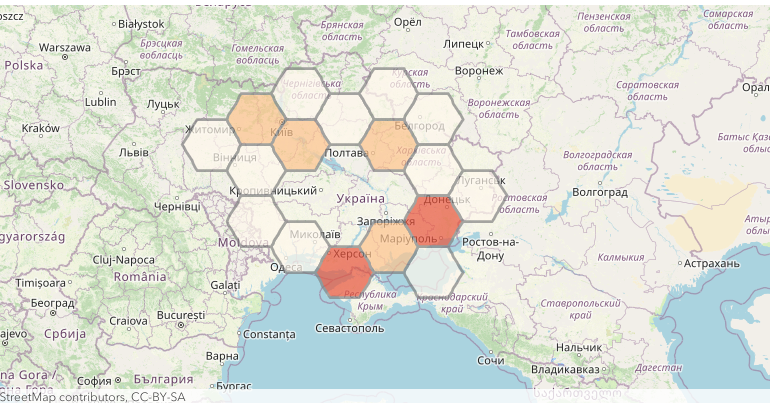
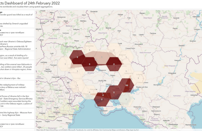
Mapping the armed conflicts events of 24th February 2022
By mapping the armed conflict events of 24th February 2022, you can recognize the Russian invasion of Ukraine without being a military expert. For this Open Source Intelligence workflow, we can rely on ready-to-use mapping and location services being deployed as a platform-as-a-service offering. If you are a developer, or someone with Python scripting capabilities, …
Yet another armed conflict database
Armed conflict databases are collections of information about armed conflicts, including information about the parties involved, the duration of the conflict, and the location of the conflict. We can use these databases for a variety of purposes, including academic research, policy analysis, and conflict resolution. Armed conflict databases can be useful for identifying trends and …


