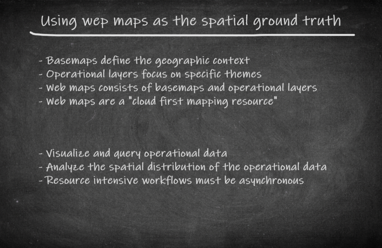
Typically, a geospatial analyst starts visualizing operational data having location information on a map. A basemap defines the geographic context and allows us thematic layering of our data. We try to gain new knowledge based on the spatial distribution of the data. A geospatial analyst almost always doesn’t have the time and skills to create …
Autor: lektor
GEOINT App: Proof of Concept
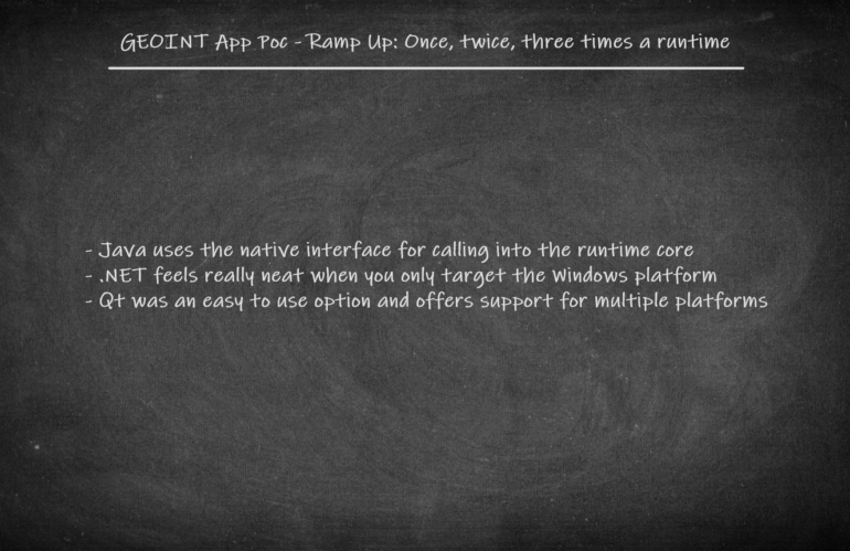
There is a need for a high level comparison of different technologies to get a better understanding why we want to use Qt. For this proof of concept we are focusing on desktop development and try to develop a standalone app which offers basemap visualization, feature rendering and querying operational intelligence data. A high level …
Design considerations for a GEOINT App
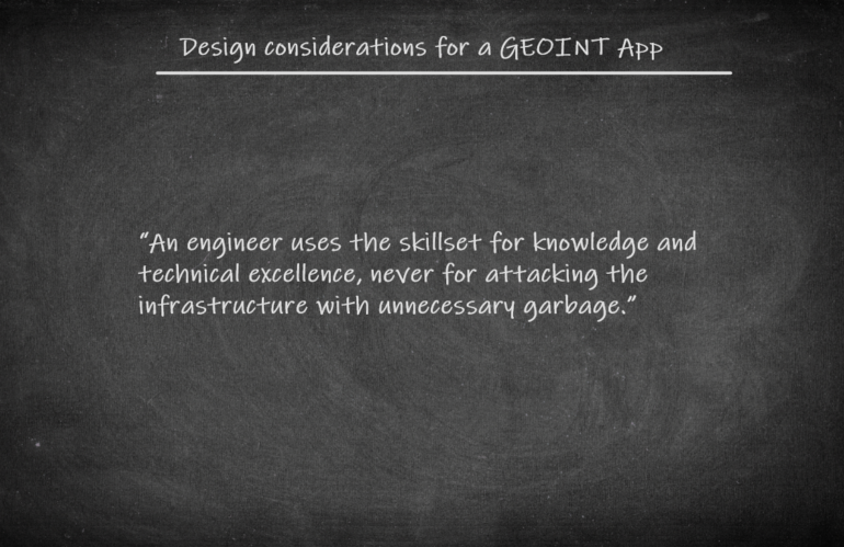
Getting to know various technology stacks for app development and why you should consider Qt for geospatial intelligence apps.
GEOINT: “The new frontier of feature engineering.”
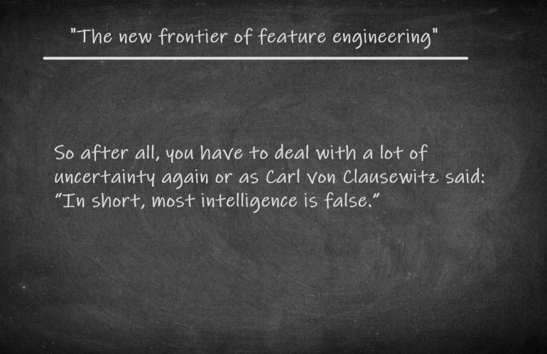
A gentle introduction into geospatial intelligence and why we should care about.