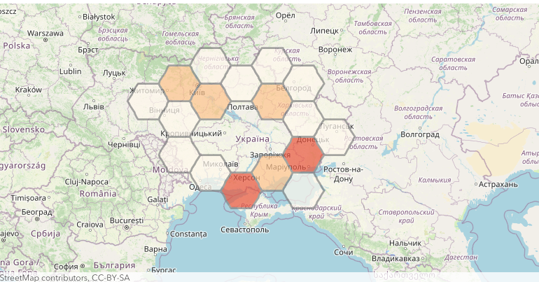
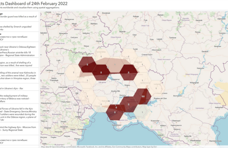
By mapping the armed conflict events of 24th February 2022, you can recognize the Russian invasion of Ukraine without being a military expert. For this Open Source Intelligence workflow, we can rely on ready-to-use mapping and location services being deployed as a platform-as-a-service offering. If you are a developer, or someone with Python scripting capabilities, …
Schlagwort: Spatial Data Science
Yet another armed conflict database
Armed conflict databases are collections of information about armed conflicts, including information about the parties involved, the duration of the conflict, and the location of the conflict. We can use these databases for a variety of purposes, including academic research, policy analysis, and conflict resolution. Armed conflict databases can be useful for identifying trends and …
Tell me something about spatial data science and the relation to GIS
Spatial data science is a field that combines the principles of data science with the analysis of spatial data and geographic information. It involves the use of statistical, mathematical, and computational techniques to understand and analyze data that is linked to a specific location on the earth’s surface. One of the key goals of spatial …


