
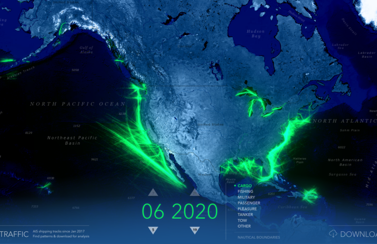
Location intelligence is a type of data analysis and visualization that helps organizations make better business decisions by using geographic data and mapping tools. It involves the collection, integration, and analysis of geographic data from a variety of sources, such as satellite imagery, spatial databases, and location-based services. This data is then used to create …
Jahr: 2022
Tell me something about spatial data science and the relation to GIS

Spatial data science is a field that combines the principles of data science with the analysis of spatial data and geographic information. It involves the use of statistical, mathematical, and computational techniques to understand and analyze data that is linked to a specific location on the earth’s surface. One of the key goals of spatial …
Using Sentinel-1 SAR data for Imagery Intelligence – Detection of vessels
Sentinel-1 is the first spacecraft in the European Space Agency’s Copernicus Program satellite system. This mission comprises two satellites, Sentinel-1A and Sentinel-1B, which circle in the same orbital plane. They have a C-band SAR (synthetic aperture radar) equipment that collects data in any weather condition, day or night. The satellites offer a maximum spatial resolution …
Mapping the geospatial patterns of broadcasted news
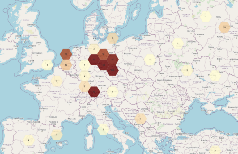
Mapping the geospatial patterns of broadcasted news allows a geospatial analyst to gain insights into common and unusual geospatial patterns. We decided using one of the most comprehensive news collection named “Global Database Events of Tone and Language” (GDELT) as the ground truth. The creator of the GDELT project Kalev Leetaru wanted to construct a …