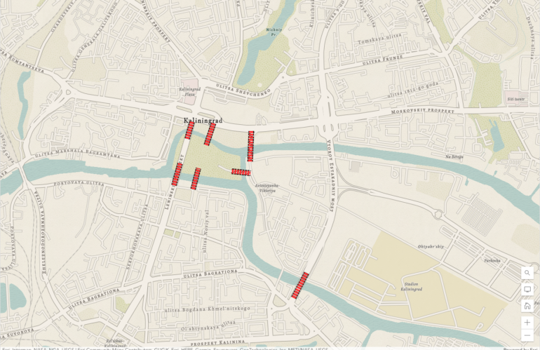
A knowledge graph is a powerful capability for organizing and representing complex information in a structured and interconnected way. The concept of knowledge graphs dates back several decades, with former work on semantic networks and ontology modeling in the fields of artificial intelligence and knowledge representation. The Königsberg bridge problem was a puzzle that had …
Schlagwort: GIS
Smart Cities and Urban Planning
Smart cities are transforming the way we live, work, and interact with our environment. These cities use technology and data to improve the quality of life for citizens while also making the city more efficient and sustainable. In this blog post, we will discuss the benefits of smart cities and the role of urban planning …
Location intelligence and its sibling Geospatial Intelligence
Location intelligence is a type of data analysis and visualization that helps organizations make better business decisions by using geographic data and mapping tools. It involves the collection, integration, and analysis of geographic data from a variety of sources, such as satellite imagery, spatial databases, and location-based services. This data is then used to create …
Tell me something about spatial data science and the relation to GIS
Spatial data science is a field that combines the principles of data science with the analysis of spatial data and geographic information. It involves the use of statistical, mathematical, and computational techniques to understand and analyze data that is linked to a specific location on the earth’s surface. One of the key goals of spatial …


