This service aggregates, clusters, and filters thousands of armed conflict events using the raw UCDP Candidate Events Dataset (UCDP Candidate) as the ground truth.
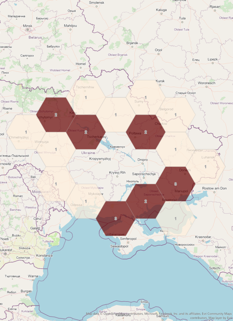
We are using a web mercator projection using a grid size being optimized for geographic visualization. Each grid cell has a count attribute representing the number of armed conflict events of the corresponding grid cell.
This API aggregates locations where some armed conflict took place using geospatial intelligence operations. The geospatial results support the GeoJSON and Esri Features format out of the box.
Aggregate armed conflict events
Aggregates the armed conflict events using a spatial grid and returns the features as hexagonal bins for a specific date.
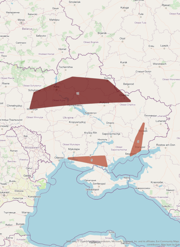
Cluster armed conflict events
Creates spatial clusters using the armed conflict events and returns the features as cluster polygons for a specific date.
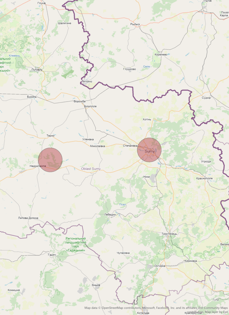
Query armed conflict events
Queries the armed conflict events and returns the events as features for a specific date.
References:
[1] geoconflicts API @RapidAPI
Query armed conflict events worldwide and visualize them using spatial aggregations.
Terms of Use
We designed the geospatial intelligence API services for research and analysis of geospatial knowledge worldwide. The geospatial datasets and any result being generated by these API services are available for unrestricted use for academic, commercial, or governmental use of any kind.
You may redistribute, republish, and mirror the geospatial results in any form.
Please cite:
– Hegre, Håvard, Mihai Croicu, Kristine Eck, and Stina Högbladh (July 2020)
Introducing the UCDP Candidate Events Dataset. Research & Politics